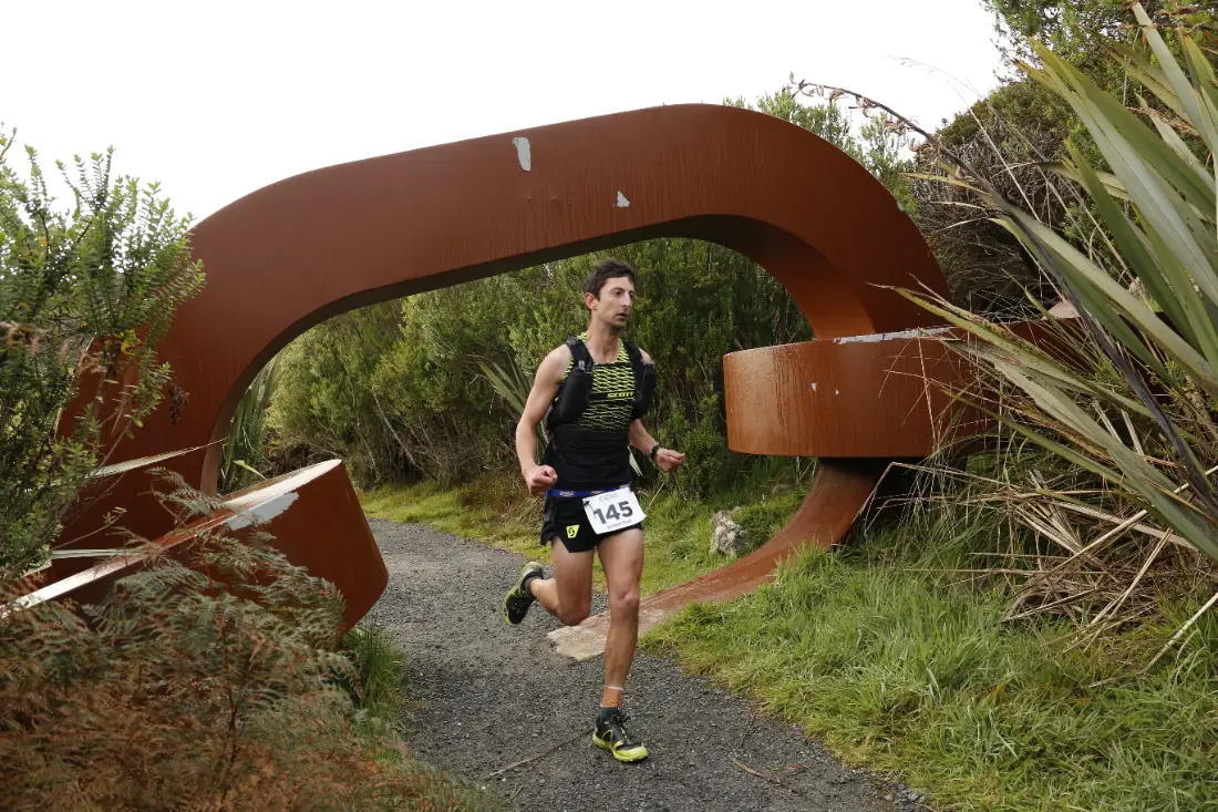
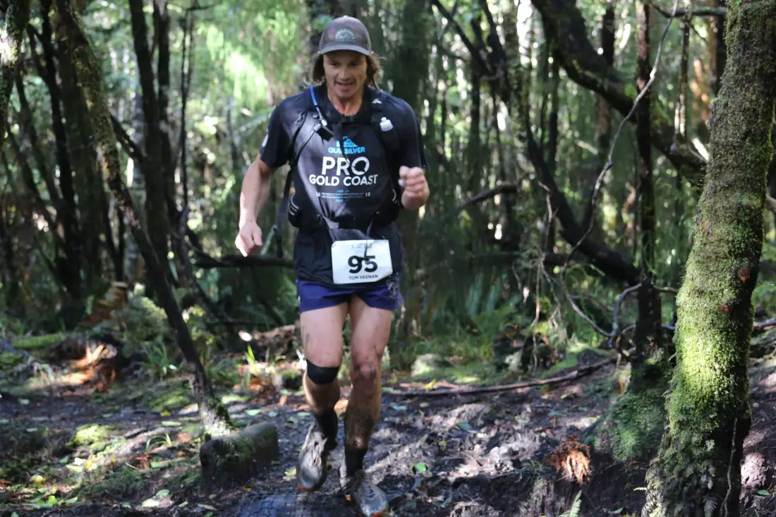
Course description
32km from Horseshoe Bay to Oban, through forest, beaches and historic milling sites.
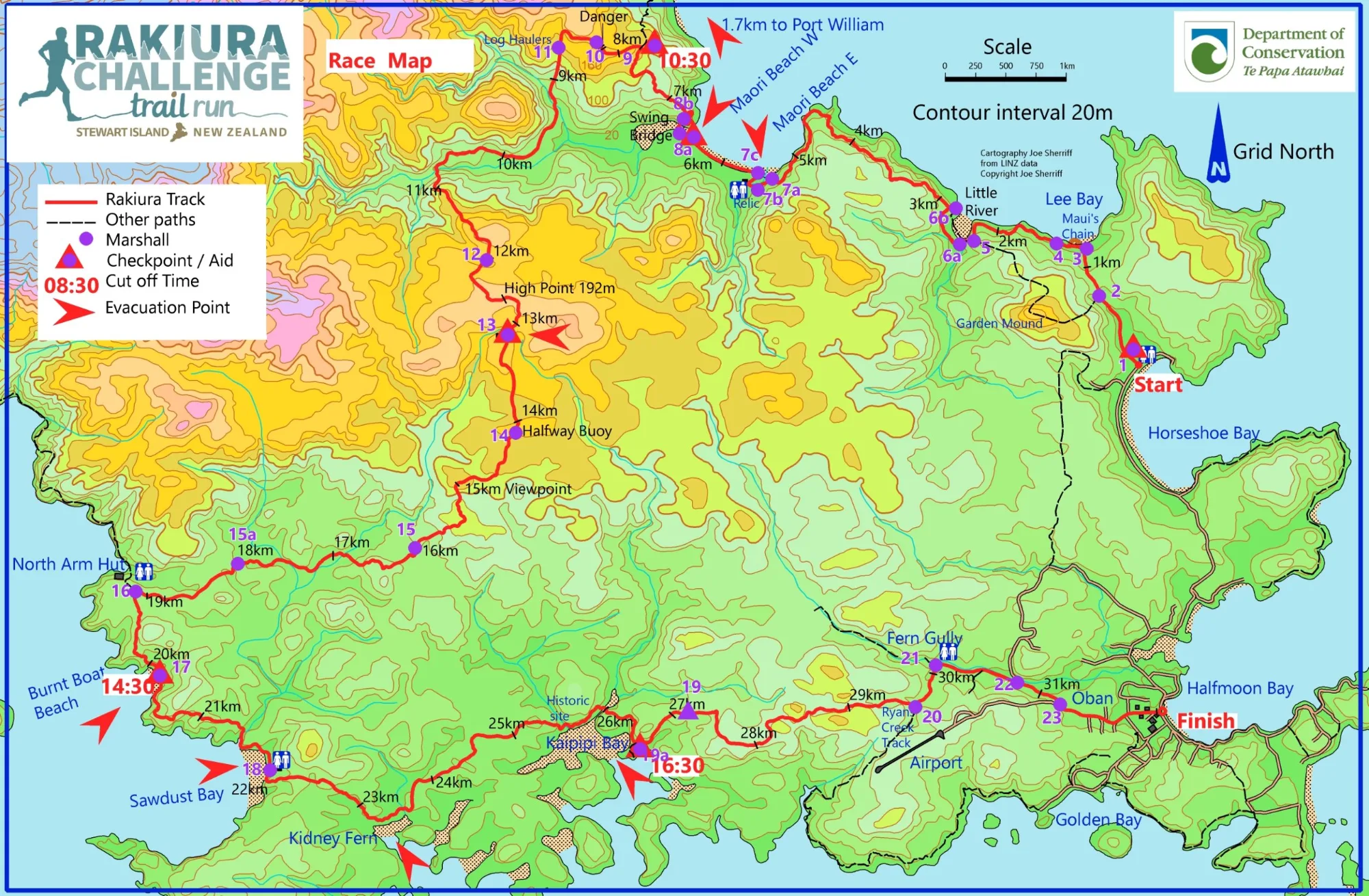
The route
Horseshoe Bay to Lee Bay
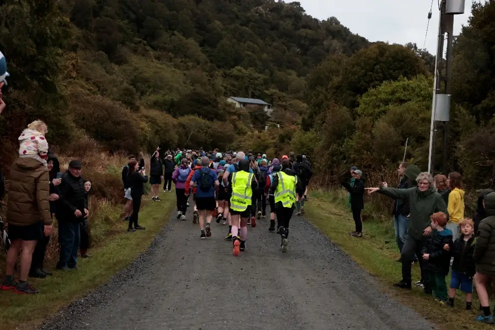
Starting from Horseshoe Bay, the course begins with a 1km run up Lee Bay Road to Lee Bay.
Coastal views to Little River
On entering the track at Lee Bay, stunning coastal views appear as you make your way towards picturesque Little River.
Peters Point and Māori Beach
Depending on tides (the high tide mark is the course), you round the tip of Peters Point to the spectacular Māori Beach. The course takes in the whole beach.
Swing bridge and Port William ridge
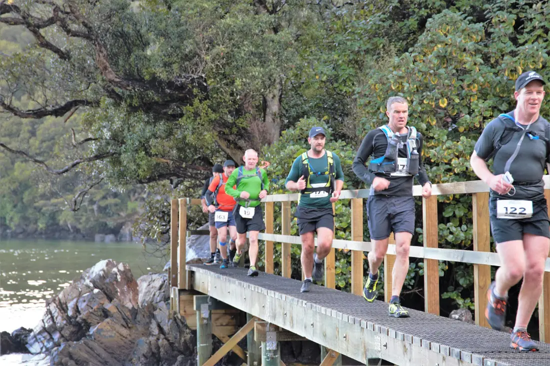
A swing bridge crossing, then the climb up the forested ridge overlooking Port William.
Inland to the high point
The course heads inland, climbing to the high point some 200m above sea level, through regenerating podocarp forest and lush, dense virgin forest. Along the way you pass massive old log haulers from the late 1800s, when the giants of the forest were dragged to the coastal saw mills.
North Arm
Descending to North Arm, you follow in the footsteps of early Māori, who since the 13th century have used the island as a traditional food gathering site (mahinga kai).
The western coast
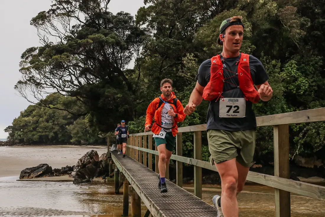
The track undulates through a myriad of hidden bays, crossing tidal mudflats and passing historic milling sites.
Final stretch to Oban
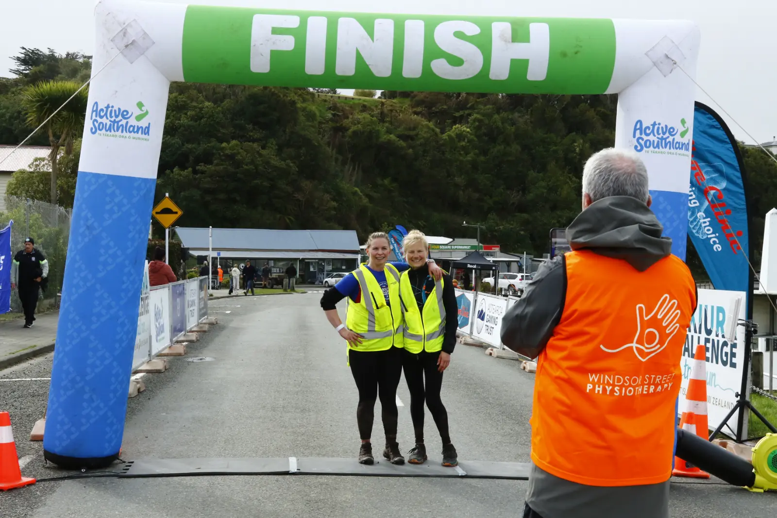
Inland again for the final stretch through regenerating bush, climbing for the last 100m before a thumbs-up downhill to the finish line in Oban.